The clouds of heavier precipitation will move over Eastern Lithuania
In the western part of the country, the sky will also be overcast, but here there will not be much rain or dust in some areas, but in some places the visibility will be reduced by fog. In the morning hours in some places, there is a higher probability of a thunderstorm in the eastern and northeastern districts. During the day, the temperature will rise to 0-5 degrees Celsius, in the evening, it will start to be cold in the eastern part of the country, and it will be cold. Light southerly winds will blow throughout the day.
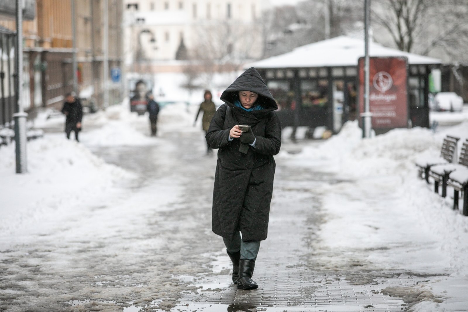
On Wednesday night, the position of the atmospheric front is small and strange, so heavy precipitation, sleet and snow will prevail in the eastern part of the country. At that time, only short-term and scanty precipitation is expected in the west of the country, mainly rain and fog. In places, the West is more likely in Lithuania, there is a fog. The temperature will range from 3 degrees of frost in the eastern regions to 2 degrees in the west of the country, in the eastern part of the country, bare ice will form in many places. Light southerly winds will blow.
On Wednesday, one atmospheric front will leave in the morning, the other one from the west will not yet approach. It will be cloudy or, with a chance of brief sunshine, more likely in southwestern areas. Significant precipitation to be available. South winds will gradually strengthen, in the afternoon the speed will be 8-13 m/s, gusts will reach 15-18 m/s on the coast. The temperature will rise to 0-5 degrees during the day.
On Thursday night in the western edge of the country, during the day precipitation is expected in many places, drizzle and rain will prevail. The temperature is low section from Wednesday.