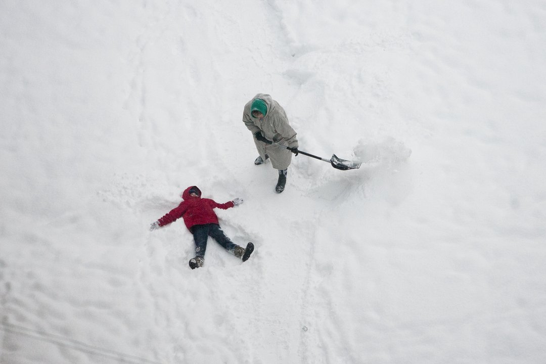
the cold weather came to Lithuania a little too early and already predicts what the beginning of December will be like
Really, these real winters are a bit too early, at least compared to the trends of the last decade. Besides, these are non-daily phenomena and you will have to live with them for at least another week. Even 30-40 years ago, significant monthly coolings did not surprise anyone, but now it seems very happy.
In the last decade, stronger and longer-lasting cold weather invasions in the southeastern part of the Baltic region were in 2014. at the end of November 2016 in the first half of November 2018 at the end of November.
True, those colds were of varying intensity and were not always accompanied by the formation of a temporary snow cover. This cold or came to Lithuania approximately from the northern part of Western Siberia and the Polar Urals, and its faster penetration to the southwest was greatly helped by the increasingly strong blocking anticyclone over Scandinavia.
The latter completely “closed” the movement of several warmer air masses of marine origin to the east, and instead created favorable conditions for them to move from the Arctic basin to the mid-latitudes. The cold air mass itself was heterogeneous and traveled to the south and southwest in separate portions, but the coldest part of it entered our region together with the high low pressure area (altitude cyclone).
It is very similar to a cyclonically rotating dish filled with very cold and dry air, and usually in winter the conditions for such a cyclone to fill up over a covered and cooled continent are unfavorable. In addition, in the lower layers of the atmosphere (under this cyclone) there is still moisture, which is lifted by convection to higher layers, condenses and falls in the form of snow.
Kaunas radiosonde data also show that it is really an abnormally cold air mass. At the 850 hPa level (about 1.3-1.4 km above the surface) the air temperature tonight was below -16 degrees, which is a rare level even in midwinter. If clear and calm weather prevails, then at such an air temperature the air temperature would drop below -20 degrees.
So, at the moment, the already mentioned water vapor (moisture), unfrozen surface, unfrozen water bodies and probably the fact that the western Kara Sea area in the region of air mass formation still remains unfrozen save us from the very low air temperature. The above-mentioned high-altitude cyclone with the coldest parts of the air mass will be (dynamically) pushed outside the Baltic region in 3-4 days and will cool down or retreat for development.
The following (Sunday) night will still be cold and the minimum air temperature will drop to -6–10 degrees in many places, it will snow in many places, the wind will change from northeast-east to southeast and south, significant cloudiness will prevail. On Monday, there will be a ridge of higher pressure over Lithuania, a weak wind will prevail, it will snow in some places, but it will clear up in some places, the air temperature will rise to 0 – -5 degrees during the day.
There will be a greater chance of more significant snow on Tuesday, when a southern cyclone will travel from the Black Sea through Ukraine and Belarus, the critical zones of which may reach the eastern districts of Lithuania. Next week, the second large-scale atmospheric circulation over Europe will begin to change, with a deep and broad low pressure area dominating the North Atlantic, while a high pressure area from Scandinavia will move southeast (toward the Urals) and strengthen and expand.
Prevailing air transport will change to the south and south-west. In the second half of the week, it will first warm up in the western part of Lithuania, and at the end of the week in the rest of Lithuania. At the end of this month and at the beginning of December, moderately warm and humid or.
This cold wave has penetrated far into the south-west and brought light frosts and some snow to Poland, Germany, the Czech Republic and the Netherlands. However, the opposite temperature anomaly due to the Mediterranean cyclone formed in the southeast of the continent.
These days, the average air temperature here is 7-9 degrees higher than the annual average. The maximum daily air temperature on the coast of the Aegean Sea exceeded +22 – +25 degrees, and on the coast of the Black Sea of Bulgaria it rose to +20 degrees. This trend (heat anomalies) will continue in the southeast of Europe in the beginning and middle of next week.