Moist air masses bring thunderstorms to Austria – weather
The weather forecast for the coming days is ambivalent. Because the higher temperatures are accompanied by thunderstorms again.
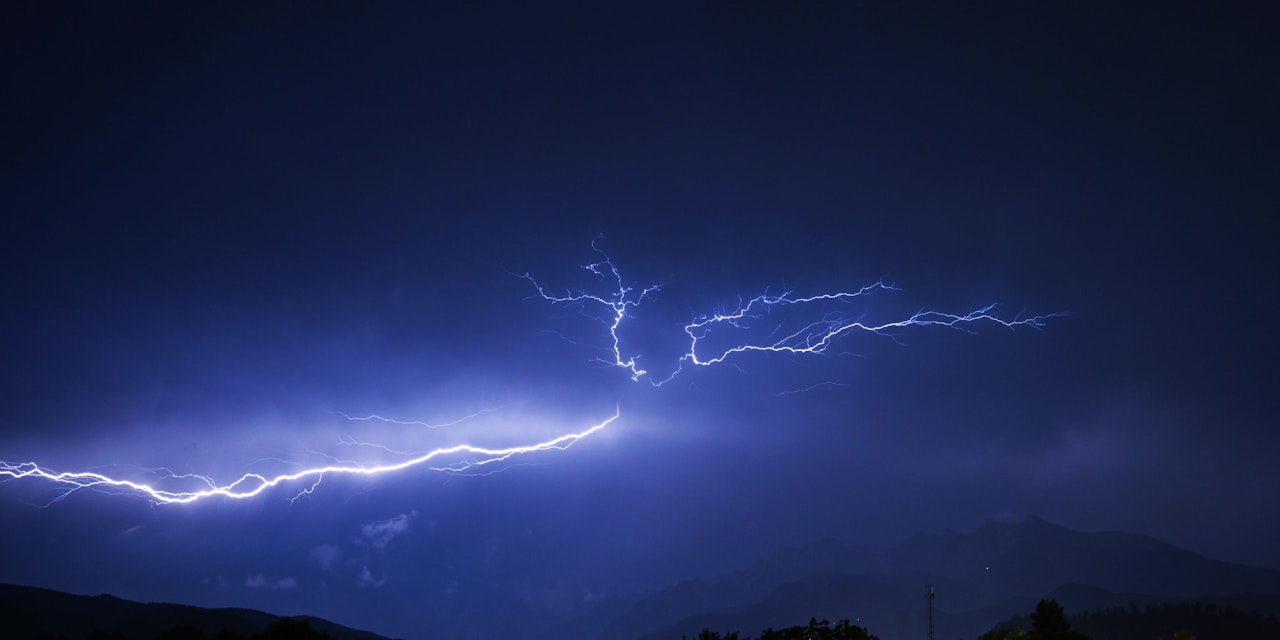
After the past few days, in which temperatures in the east in particular have moved downwards again, a reverse trend can be observed again from Wednesday. Temperatures will rise noticeably in the north and east of Austria from the middle of the week. In the sphere of influence of moist air masses, it also gets very muggy for the time of year. However: especially in the eastern mountains are therefore again Thunderstorm in sight.
READ MORE: Changed weather forecast – what to expect now
The high altitude low that last weather-determined in the eastern half of Austria is currently slowly making its way to south-eastern Europe and leaving behind very humid air masses. However, the influence of the low pressure is easing and the temperatures are clearly rising in the eastern half. The summer of 2022, which ended at the turn of the month from a meteorological point of view, was similarly warm to the summer of 2015, the third warmest since measurements began. It was only hotter in 2003 and 2019.
temperatures rise
Of the Wednesday Starts out cloudy, especially in the north and eastern highlands, but mostly remains dry and generally becomes friendlier during the day. Only very occasionally short showers are possible in the eastern northern Alps and in the Mühlviertel. Sunshine dominates from Vorarlberg to the Innviertel and in the south. In the eastern half it is noticeably milder, so the maximum values in the lowlands are quite uniformly between 24 and 27 degrees.
Am Thursday fog persists on the north side of the Alps and in the south at first and cloud fields pass through in the east, from southern Styria to the eastern edge of the Alps there are also isolated showers. During the day the sun often comes out, but cumulus clouds form in the humid air and thunderstorms form, especially from the Tauern to Upper Styria and in the Mühlviertel and Waldviertel. In the western half and in the extreme east, on the other hand, it will mostly remain dry. The temperatures reach 24 to 29 degrees or up to 30 degrees in Innsbruck. The wet bulb temperature reaches 20 to 22 degrees, especially in the eastern half, but higher peaks of around 24 degrees are also possible locally after the passage of showers. This makes it increasingly muggy.
“Copious” rain and mudslides
Of the Friday started with some fog fields, but these soon give way to the sun. From around noon, heavy showers and thunderstorms will form, especially in the southern and eastern mountains and hills. In contrast to the thunderstorms in the past week, some of the expected thunderstorms are stationary, which means that there can be heavy rain in the very humid air in a short time and there is a risk of small-scale flooding and mudslides. In the lowlands there are only occasional thunderstorms, it often stays dry in the Tyrolean Oberland and in the extreme east. The maximum values are between 24 and 30 degrees. The muggy, warm and partly thunderstorm-prone weather is expected to continue until the end of the month.