from Toulouse to Montpellier, the south of France hit by storms tonight
Torrential rains fell on France on Tuesday in the early evening and all night. Rainfall was particularly heavy in the south, from Toulouse to Montpellier.
During the last night, the south of France went through a particularly intense stormy episode. If Paris was surprised by the violence of the phenomenon, with 46 mm of precipitation falling in one hour late Tuesday afternoon – more than the total measured between June 30 and August 15 – and stations of metro flooded in a few minutes, the phenomenon continued for several hours in the South.
To the point that this Wednesday morning, the five departments of the Mediterranean arc are experiencing a very rainy awakening: Hérault, Gard, Vaucluse, Bouches-du-Rhône, Var are thus kept on orange storm alert and rain-floods by Météo France.
>> Find all the weather information on BFM Météo
The Aquitaine basin under the storms
No sooner had the gusts calmed down in Île-de-France than thunderclaps and showers swept over the south on Tuesday evening, from west to east. Thus, as the Weather Channel specifies below, on a measurement of 14 mm of water in Toulouse during the last hours, while windy peaks sometimes exceeding 100 km / h swept the whole of Haute-Garonne .
As shown by VigiMétéo France through its models, the gusts and bad weather affected the entire Aquitaine basin from the Pyrenees to Bordeaux, flying over Auch or Montauban.
“Very stormy cell” on the Hérault
But it is around the Mediterranean that the phenomenon has been most pronounced.
“Here, it’s impressive. The storms have broken out, with lightning, thunder, roads that are starting to be flooded. I have three children, in panic fear”, testified on BFMTV a resident of Montpellier.
Béziers then Montpellier were watered by downpours. Météo France has also mentioned the installation of a “very stormy cell” above the department.
Images have transcribed this very dark atmosphere in the department, as shown in the photo below.

The lightning even threatened the local cathedral.
In detail, as noted by AFP, we recorded locally – and in less than an hour – the equivalent of three weeks of rain, which gave for example 75 mm of water for the municipality of Montarnaud and even 97 mm in Puéchabon. What to make the bed of the rivers.
So the Lez got bigger, as the Weather Channel pointed out. The level of the small stream even temporarily rose by 36 cm in 1 hour in the evening, as reported by our special correspondent in Montpellier.
The Gard evacuates its campsites
These floods brought back bad memories in neighboring Gard, which also experienced a very stormy night. In 2020, in fact, the department had to deal with the runaway Gardon. Tuesday evening, the prefecture had recommended the evacuation of campsites. An instruction followed to the letter by Marjolaine Rossel, owner of the Le Petit Baigneur campsite in Saint-Jean-du-Gard, as she confirmed to BFMTV.
“A backup plan has been put in place by the municipality, so we prefer to evacuate the campsite as a preventive measure. Some campers have gone a little further, and others have been relocated to another structure that we also manage”.
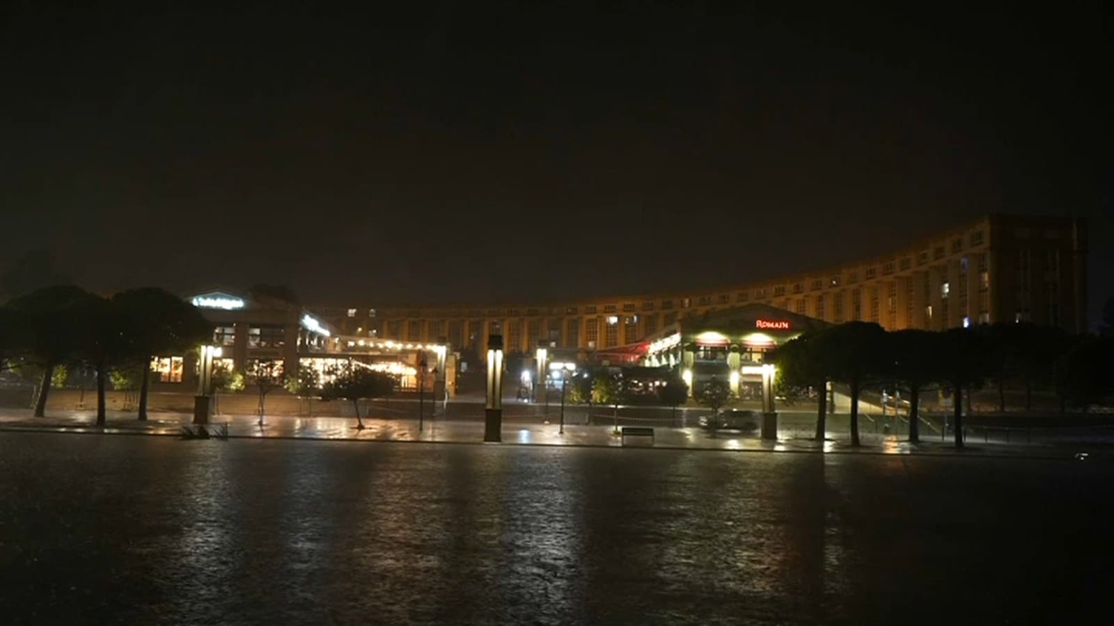
Early this Wednesday morning, the heavy rains also watered the Var, as shown in the photo below, captured in Toulon.

Heavy rains in the Bouches-du-Rhône
But it is above all the Bouches-du-Rhône that suffers. 47 mm of bad weather in Cassis at dawn in some sixty minutes, 33 mm in Marseille – a measure exceeding all the rains that fell between May 6 and August 16, according to statistics provided by the Weather Channel on Twitter.
According to our correspondent on site, water slides of 50 to 70 mm fell in the department in the early hours of the day, while hail was reported in the municipalities of Carry-le-Rouet, Ensuès-la-Redonne or around the Etang de Berre, bordering Marseille.
No major damage
From the Aquitaine coast to the Mediterranean beaches, the south has therefore suffered the onslaught of precipitation on a double front. These were caused by a depression initially tied around the Bay of Biscay and which was fed, and even reinforced, by the effluvia of an overheated Mediterranean.
At this stage in any case, none of these storms has fortunately caused any casualties, or caused substantial damage or resulted in “significant intervention” according to the Gard firefighters to AFP.