The hidden treasures of Budapest in Google Street View
Several Hungarian cultural venues can be seen in the footage of the 360-degree cameras, but their typical vehicles will return again soon. Google’s cars will set off in several Hungarian cities on Friday, March 11, to update Street View services, Google Hungary said again.
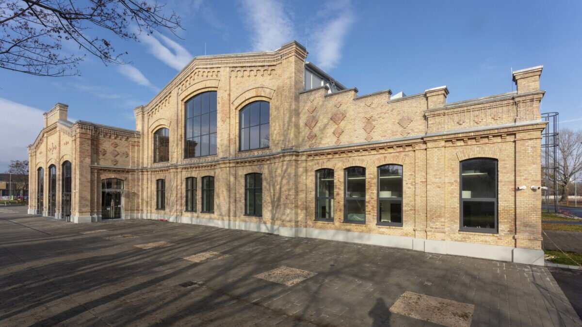
The repository of Budapest’s hidden treasures has recently been expanded in the service: 360-degree camera footage of places such as Kincsem Park, North Vehicle Repair Shop Two Hallsthe Eiffel Workshop, which serves as the performance hall of the Opera House, and the Diesel Hall, which serves as the new exhibition space of the Transport Museum, and Lake Naplás, the largest lake in Budapest.
With Google Street View, users can visit most Hungarian cities from anywhere, view many castles and chateaux, and even visit national parks in the digital space. The service map of Google Maps Street has been available in Hungary since 2013, the image material is constantly updated. The Street shows 360-degree views of the streets and natural and cultural attractions.
In addition to streets and roads, Google also records pedestrian zones in several Hungarian cities, as well as other places inaccessible by car. Thus, users can virtually walk the streets of Pécs or Debrecen, visit the shores of Lake Balaton, the Aggtelek National Park, or take a trip to the Ópusztaszer National Historical Park.
In the coming months, many cities in the country will be touched to update their views of cities, roads and highways on Google Maps. In Transdanubia, for example, the cities of Sopron, Székesfehér, Szekszárd, Pécs, Veszprém and Ajka will be affected, and in the eastern part of the country Békéscsaba, Szeged, Karcag, Debrecen and Tiszaújváros, among others.
As has been written, in order to enforce the rights to the protection of personal data, images are subjected to a special procedure prior to publication, which obscures people’s faces and license plates so that they will not be identifiable.
Street Street is a popular feature of Google Maps that is currently available in more than 220 countries around the world, including Antarctica and the North Pole. Available on desktops, mobile devices, and Google Earth.