Cold front now brings fresh snow to Austria – weather
The weekend ends with a pleasant 15 degrees, but Austria can look forward to a lot of snow in the coming week.
The high “Christine” shifts further east on Sunday, but the weather is still calm. At the beginning of the week, the influence of low pressure increases again on the north side of the Alps. A peripheral low that moves over northern Germany on Monday night causes stormy gusts on Monday on the eastern edge of the Alps. On Tuesday, another low-point moves across Germany, which also has an impact on Austria. A cold front then announces itself in the middle of the week. This means that temperatures are falling again across the country, and there is fresh snow in the Alps.
the Sunday starts sunny in the mountains, in the flat and hilly areas as well as in some valleys, however, sometimes cloudy with fog or high fog. The cloudy gray can be tough, especially in Upper Austria or in the south-east, but clouds later also pass through from the north-west. Most of the time, however, it remains dry and, above all, friendly in the inner Alps and in the south. With weak to moderate, temporary southerly winds, temperatures rise to 5 to 15 degrees.
Snow is coming
Am Monday It rains again and again on the north side of the Alps, the snowfall limit is between 1300 and 1500 m. From East Tyrol to South Burgenland the sun shines from time to time and, on the other hand, also in the east the strong, refreshing westerly wind loosens the clouds a little. The maximum values are between 4 and 14 degrees.
the O often starts cloudy and with some rain in the west and north. During the day, however, a foehn wind from the south attracts the clouds and in phases the sun can show itself. Otherwise, the day is becoming increasingly friendly, although low clouds can also linger in the south. The wind blows moderate to brisk from south to west and with 3 to 14 degrees it is again quite mild, with foehn the temperatures are locally even higher.
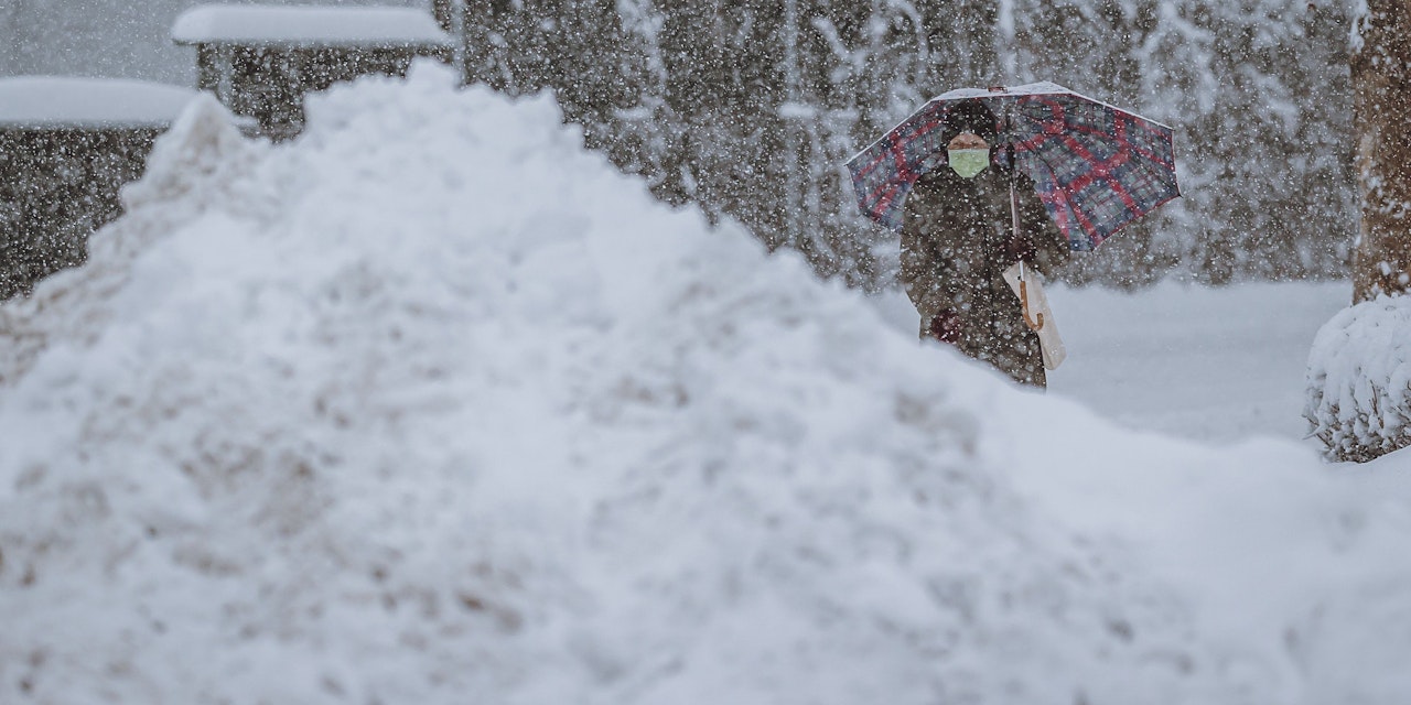
Am Wednesday Rain falls out of the night, especially on the north side of the Alps, but it also intensifies in the south during the day, and it remains largely dry in the northeast. The snowfall line sinks from an initial 1,300 meters to around 700 meters, in the south in the evening even into the lowlands. Along the Danube and in the east there is a lively to strong westerly wind, the temperatures no longer exceed 0 to +7 degrees.