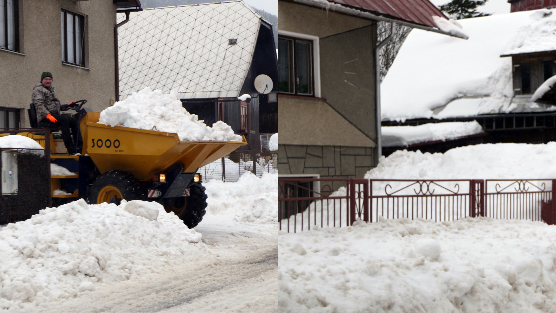
Calamity is raging in Slovakia, SHMÚ has issued warnings
The weather in Slovakia has changed in recent days and is slowly starting to resemble winter. This is also influenced by Jadranka, which is almost always unpredictable, which is why meteorologists cannot yet estimate how much snow will fall. However, the snow should continue for several days.
Already in the next few days, Slovaks should prepare for the weather, which iMeteo marks as dangerous. This will not only bring freezing precipitation to Slovakia, but also a snow disaster. This will occur due to the fact that wet and heavy snow will fall. therefore, it is possible that there will be events that can ensure the operation of power lines, but also endanger drivers.
At the moment, a precipitation field originating from Hungary is moving over Slovakia, which affects the weather in the west and in the center of Slovakia. Although it is mostly rain, it is already snowing in some areas of the Banskobystrica region. These precipitations will soon spread over the whole of Slovakia, while they will stop only at night.
As we mentioned above, it is already snowing in some areas of the Banskobystrica region, and this snowfall is moving towards the north. High snow areas such as Veľká Fatra and Nízke Tatry await today. In these places, it can snow up to 20 centimeters on top of the snow. It can therefore be expected that drivers encounter complications, especially on mountain passes.
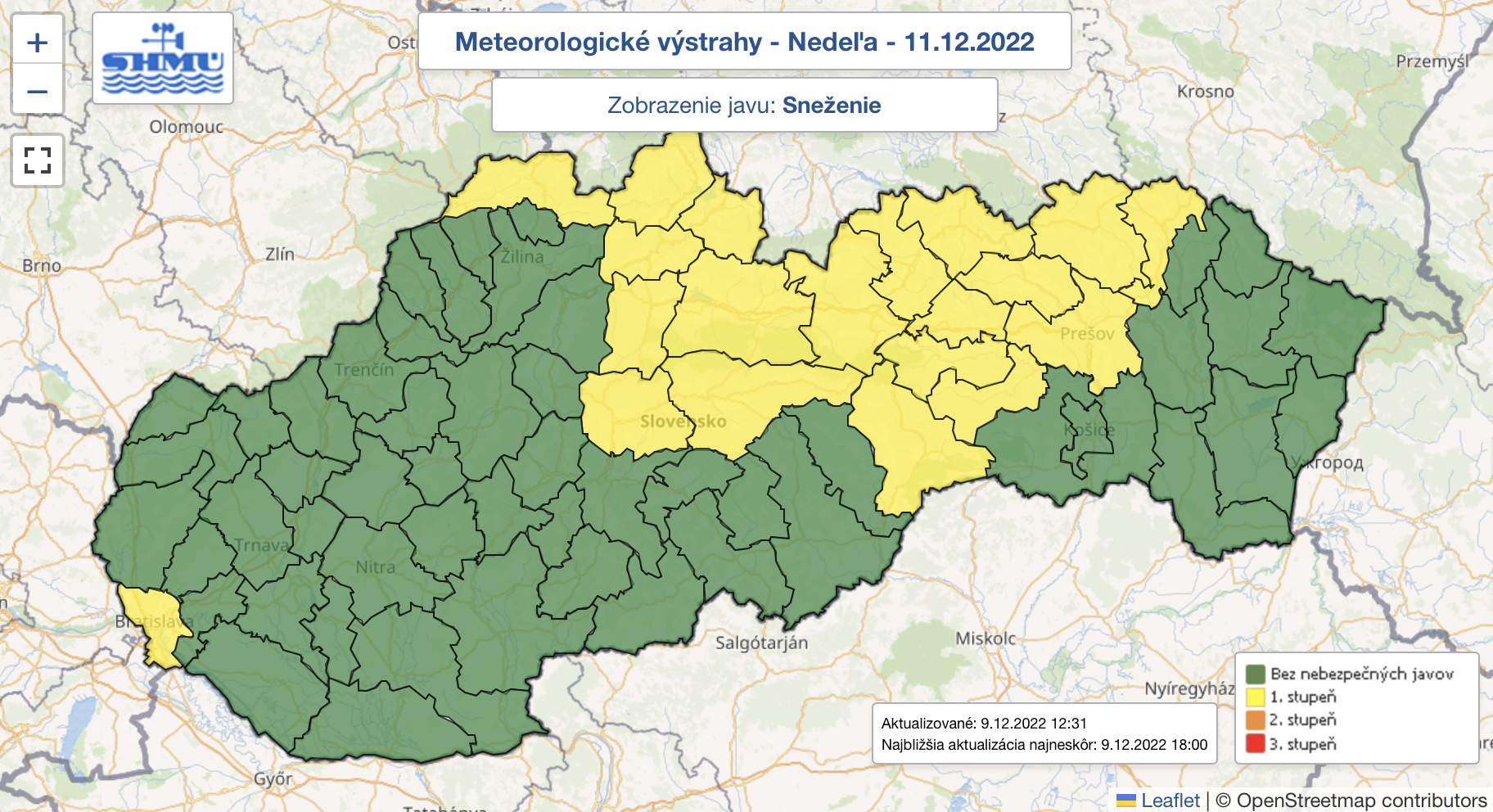
source: SHMÚ
A kind of calm before the storm awaits us on Saturday. Precipitation will stop within hours and will appear only minimally during the day, despite the fact that the sky will be cloudy. As for the temperature, it will be cooler. Cold air will reach Slovakia from the northwest.
In which districts will warnings apply in the coming days? Read on to the next page.