We can follow the changes in Hungary on a new satellite map
The new interactive map will make the work of researchers and authorities easier, but private users will also find it useful.
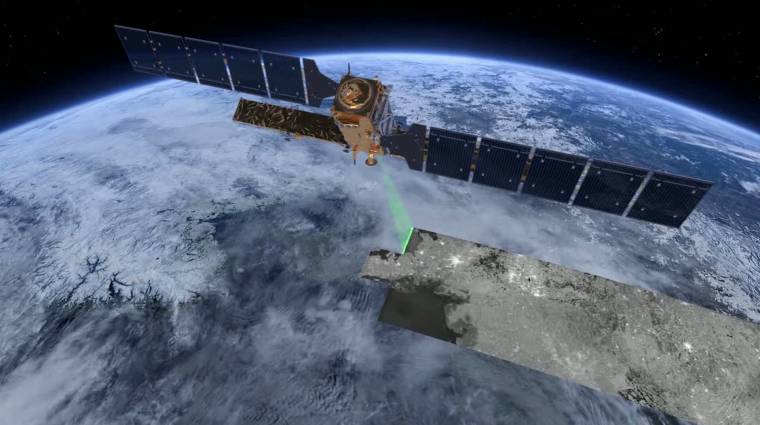
Extremely interesting photos of Mars have also arrived recently, but if it’s not just driven by scientific curiosity, it’s worth taking a look at satellite photos of our much closer surroundings as well. We have a new tool for this, thanks to the European Space Agency’s Earth observation Copernicus program.
It’s started eGround portaland almost anyone can access the Earth Observation Information System, all we have to do is log in through the Customer Gateway system.
The satellite imagery here is not nearly as detailed as other interactive maps, so it’s not a good idea to use this system to find your house.
The advantage of FIR, on the other hand, is that it is easy to track continuous changes on a regular basis, on a weekly basis, with comparisons made on it in quick succession.
Therefore, the system was not invented by private users, but, for example, authorities and researchers can use it to monitor the condition of Hungary’s vegetation, or let’s say which areas are affected by flooding and possibly inland water.
The distance and area measurement tools of the eGround portal can also help in this. some formal procedures can also be initiated on the new website, in addition to the permits related to airspace designation and aerial remote sensing, it is possible to initiate a preliminary defense building authority procedure.