storms, hail, snow and wind storms, situation and forecasts « 3B Meteo
3 minutes, 15 seconds

UPDATE 12:15. IT SNOWS UP TO 400M IN THE PROVINCE OF RAVENNA. Here is an image from Casola Valsenio’s webcam.

UPDATE 12:00. GRAUPEL IN PISA. Here are the consequences of the storm that hit the Pisano for hours. Streets whitewashed by graupel. Photo by Paolo Salvini.

UPDATE 11:00. HAIL IN ROME. A strong storm hit the capital a little while ago and is heading towards inland areas. Along with the storm there were episodes of hail and graupel as evidenced by some videos.
UPDATE 10:30. STILL TIMES IN TUSCANY. There is a storm line that is affecting the provinces of Livorno, Pisa and Lucca extending up to the Pistoia area. Intense showers accompanied by graupel on several occasions. It’s just the beginning of these long 48 hours of winter instability.
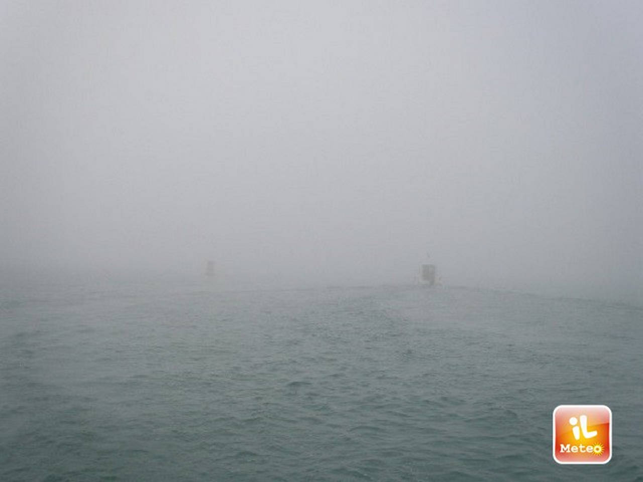
UPDATE 09:30. STRONG SWARM ON THE LIGURIAN COASTS. After the storm on Monday, on Liguria tonight the sea returned to being seen and heard with waves over 4m. Wave motion that reached the village of Cavi Borgo in the municipality of Lavagna (GE).
UPDATE 08:50. First heavy storm of the day. A storm has just born in Tuscany, exactly between Pisa and Lucca where hail is also reported. New nucleuses will also be born in the next few hours between one sunny break and another.
08:00 – GOOD MORNING FROM COURMAYEUR.

Our country has been dealing with the bad weather which is sometimes violent. In particular in the Center-South where rain, storms, wind and storm surges they are bringing some areas to their knees. All this because of a polar front descended into the Mediterranean area capable of upsetting all the balances. And it didn’t end here because the most unstable and dynamic part of this deterioration will come today. Let’s see what is happening and what will happen in the next few hours in Italy.
The situation. Rains and showers in Sardinia, in the internal areas of the Center, in Tuscany and on the Cilento. Dryer elsewhere but with lots of clouds. Fog banks in the Po Valley. However, the situation is very dynamic and even where we have sunny spaces right now there could be some sudden showers. It snows in the Apennines above 700-800m, while in the Alps it is a dry morning. What is making the difference, and it did throughout the night, are the wind and the sea. Libeccio gusts widely between 60 and 80 km/h over Lazio, Campania, the central Apennines and Sardinia. Very rough sea with waves over 4-5 meters in the Tyrrhenian areas and problems in traveling for ferries. Cold on the northern plains with temperatures between -1°C and 5°C, milder elsewhere with peaks of 14-15°C in Naples, Taranto and Messina.
In the next few hours. Weather worsening by evening in Emilia-Romagna, Levante Ligure, Central Italy and in the South. A nucleus of freezing air (up to -35/-36°C at 5500m) will pass over our country and will be the main cause of a second part of the day dominated by marked instability with abundant showers and local thunderstorms, even of strong intensity with hail and/or graupel, possible storms. Snow that in the Apennines will fall starting from 600-800m decreasing to 400-500m in the evening. Possible gusts of wind and tornadoes. Pay particular attention to the coasts of the middle-lower Tyrrhenian Sea. Drier on the Ionian side and in the Alps. Possible snowfalls from trespassing in Courmayeur. Italy divided in half as regards the thermal aspect, maximum temperatures between 5 and 8°C in the North, between 16 and 19°C in the South, on average instead in the Center between 7 and 12°C. Stormy ventilation of Libeccio with storm surges on the exposed Tyrrhenian coasts.

Become a meteorologist too, report the weather in your locality. It’s very simple: click here to find out how >> Meteoreporter.
In the event of severe weather, storms with the risk of flooding/flash floods, there are some behaviors to follow to avoid serious dangers, including not underestimating the force of the water on the road during a flood. To know more. >> Here.