Radar measurement from space against rock falls
Environment&Climate
With images from radar satellites, experts in the country want to be able to better identify where there is a risk of rock falls and where slopes in the mountains are dangerously in motion. To do this, they are teaming up with the research company Georesearch in Puch (Tennengau). The project offers completely new possibilities and extreme accuracy.
The basis is the so-called Copernicus Earth Observation Program. Satellites scan the earth’s surface with radar beams. The reflections provide very precise and three-dimensional images of the structures on the ground, says Markus Keuschnig from Georesearch: “We are currently achieving accuracies of one to two millimeters. That’s very, very accurate.”
Rockfall near Niedernsill in the Hohe Tauern, November 2020:
Changes of one millimeter visible
Principle of operation: Each observed point has a history of its measurement data. The current situation is then recorded digitally using the previously recorded satellite data. In this way, the experts can find out whether, for example, a spot in the rock is stable or whether it is moving – and at what speed.
Solid forecasts possible for the first time
The goal of this project funded by Arge Alp is ambitious, says Gerald Valentin from the state geological service: “The problem with alpine rockfalls and mass movements is that we only find out afterwards that something happened. With this technique we can now see on large areas where something is moving. This allows us to predict whether something dangerous will happen there in the future.”
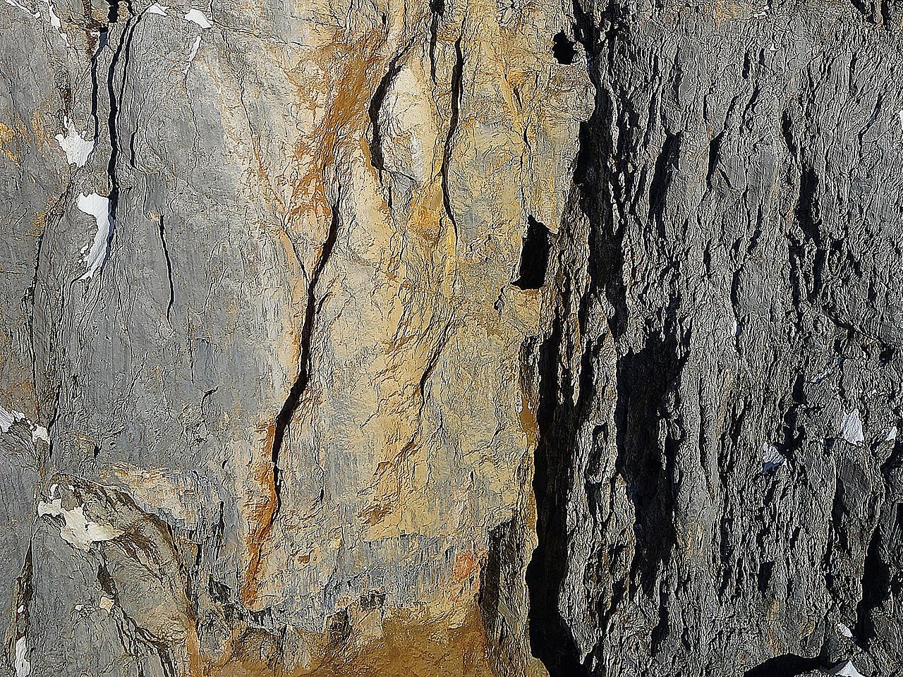
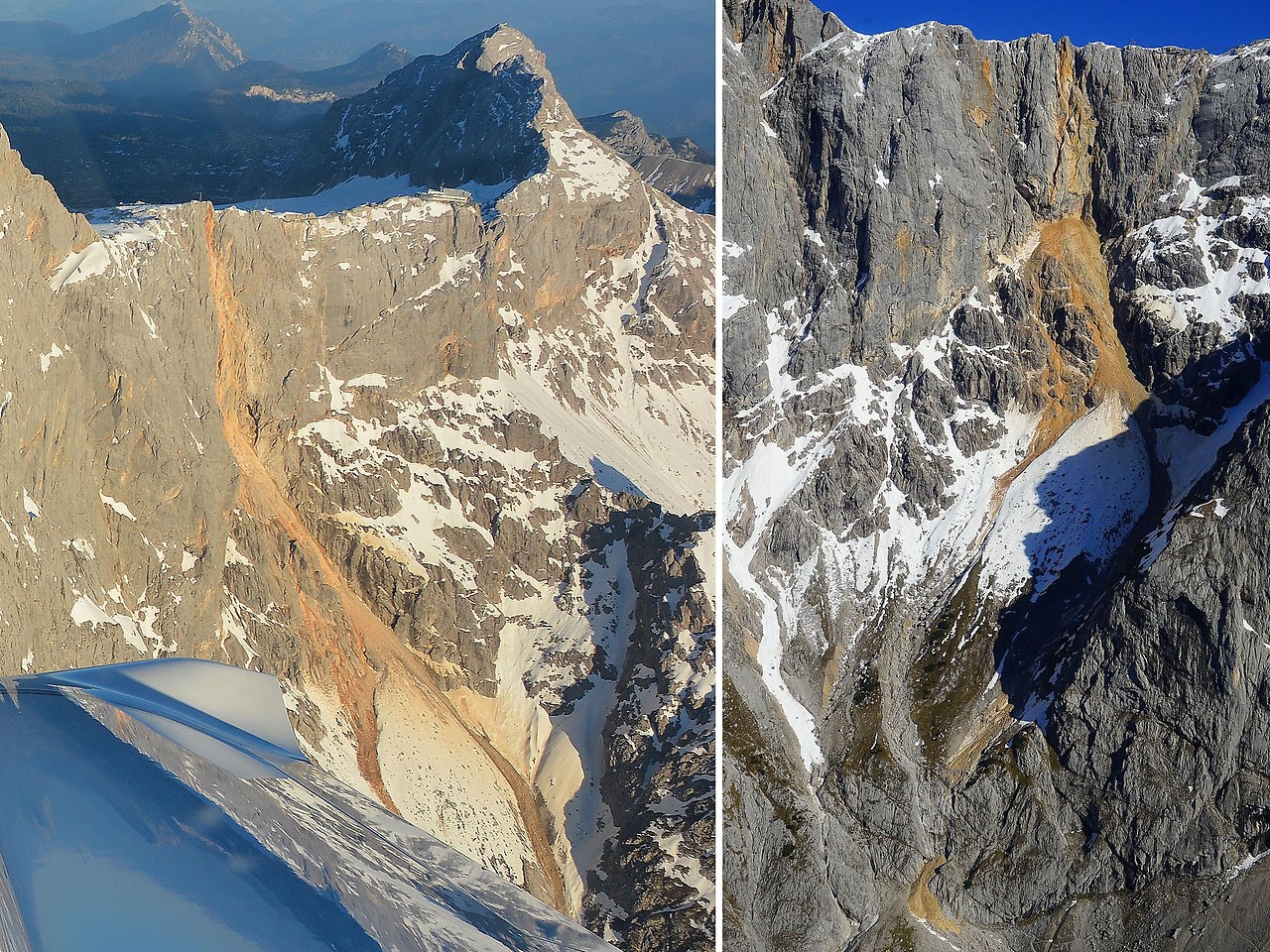
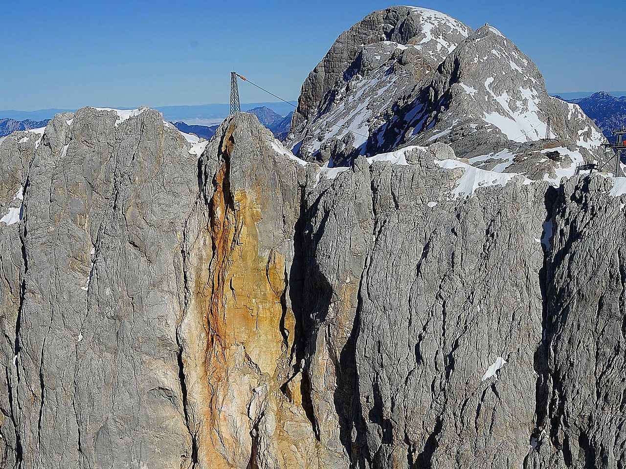
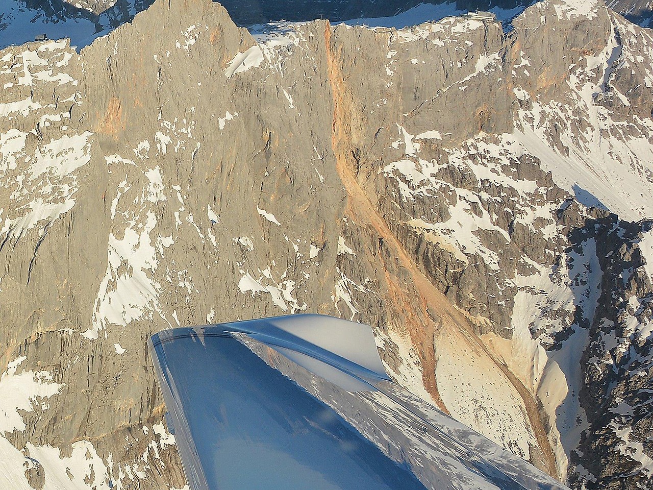
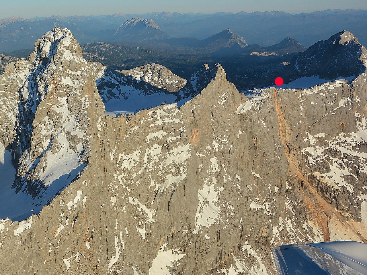
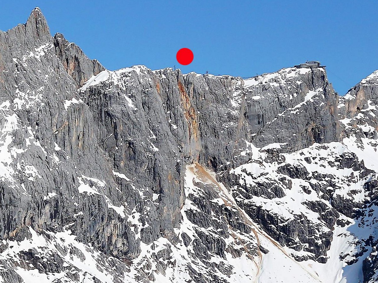
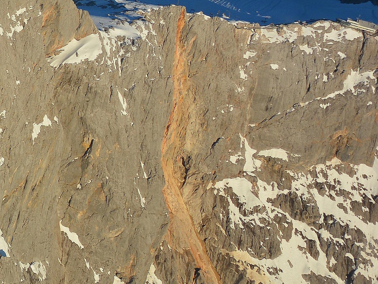
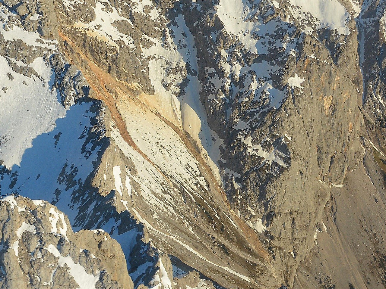
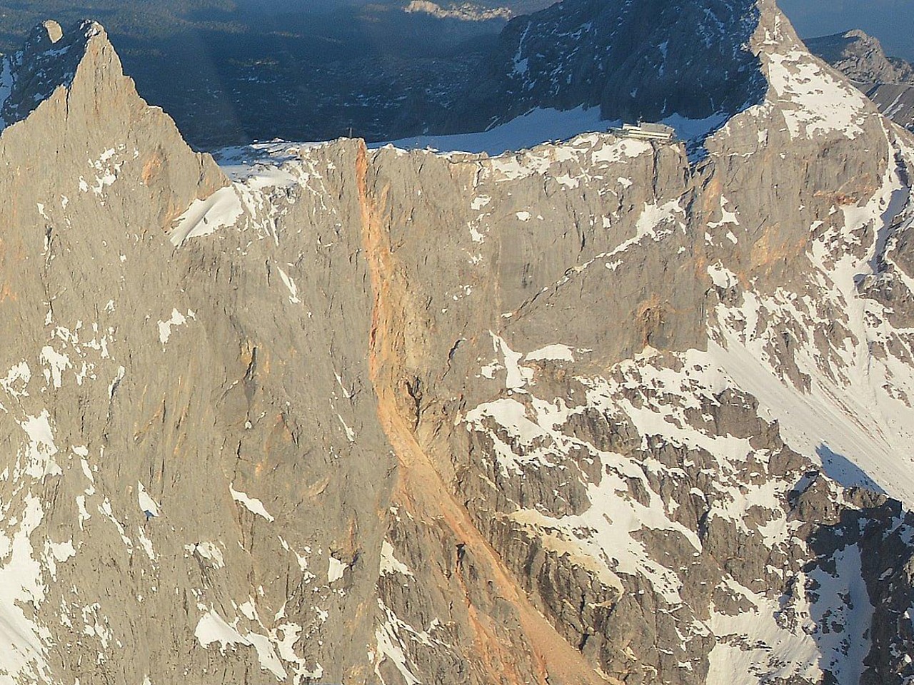
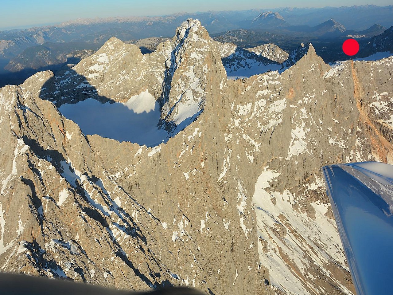
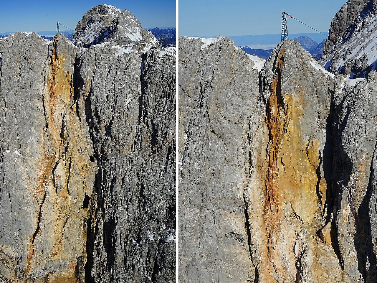
Rock fall in the Dachstein south faceAutumn 2020:
Photo series with 12 pictures
Specialists from northern Italy on board
The amount of data generated is huge. A number of specialists are needed for the evaluation, brought in by a company in Milano (Milan). The methodology is still in the initial phase, but could be the scientific standard in disaster control and prevention in just a few years.