How to reduce carbon dioxide emissions in cities using digital twins
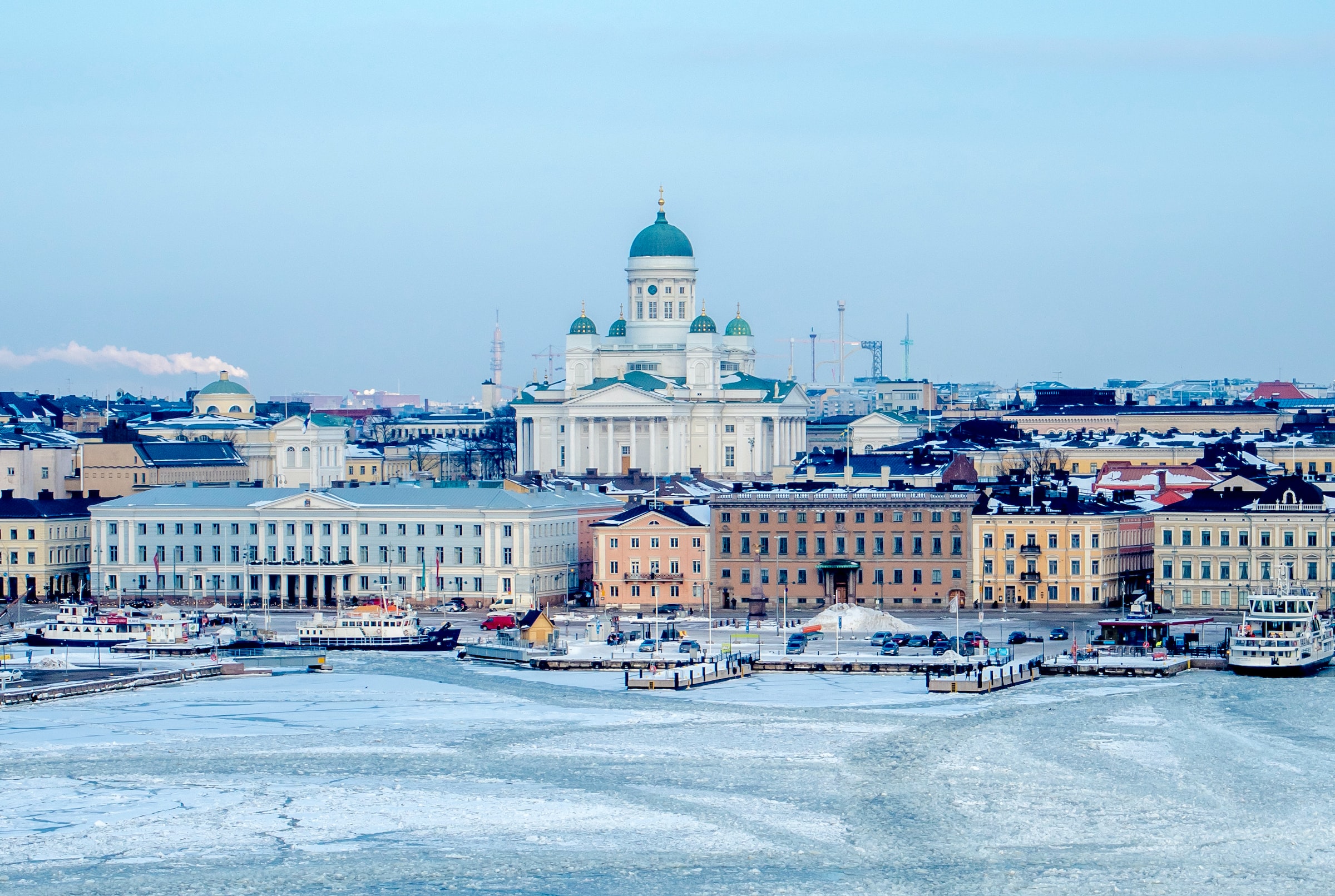
Helsinki, a world leader in the use of digital models as tools to achieve its ambitious and rapid carbon dioxide emissions target by 2030, aims to harness the potential of geothermal energy with the help of local homeowners.
Two-thirds of the world’s people are expected to live in cities by 2050, so urban planning for climate change is vital to both mitigating extreme climate events and realizing a low-carbon future. A small team in the capital Helsinki, led by architect and urban planner Jarmo Suomisto, is at the forefront of the world in implementing and using the digital twin model of their city.
Helsinki’s digital twin is actually two models, the Reality model and the Semantic City GML – short for Geography Markup Language, an international standard for mapping software. Simply put, the reality model is pretty pictures – made up of two billion polygons, and the semantic model is the underlying brain, whose data layers can be labeled, queried, added and changed. In the beginning, the models were used to evaluate proposals in architectural competitions. In the 1985 3D model, it took 12 hours to render a simple black and white street view image.
To give you an idea of the current complexity of the data, two years ago 11 terabytes of diagonal image data took five months to render the entire 400 km² real city model using a Parisian data farm. As Suomisto says: “The real power of a smart digital city lies beneath the wonderful visuals. It’s like you only see 10 percent of the iceberg, the rest is invisible, but there’s real power.”
Both models are more accurate than 20 cm. In comparison, Google Maps contains errors of up to 5 meters, so it cannot be used for planning purposes. One model feeds another, and artificial intelligence (AI) starts to make the reality model smarter by replacing the laborious and expensive work of manually marking windows, roofs, road signs, etc.
Photo: Jarmo Suomisto Helsinki 3D+
The reality model was created by flying a light aircraft at an altitude of 1,200 meters above the city. The plane was equipped with five cameras that filmed the same scenes from different angles. The software combines these images by matching similarities to create a point cloud of a 3D city. All of Helsinki’s 80,000 buildings and over a million surface areas (roofs, windows, etc.) have been mapped in this way.
The beauty of the underlying semantic model is that it can be endlessly enriched, for example to reflect new roofing materials and insulation or renovations. It can be taught to understand the city increasingly better by using AI to label new elements that have been thoroughly checked against expensive manual labeling, and by adding new elements such as accessibility information such as dropped curbs. The city hall surveyor is responsible for the daily updating and maintenance of the semantic model.
In the future, aerial images will be combined with street level scanning and images. “We have the technology for this, but not the computing power to process the entire city’s data – it may take a year or two,” says Suomisto, “but by looking we can see what is possible. in small regional projects.”
Suomisto is the proudest Energy Atlas, which is based on two models that help urban planning to become carbon neutral by 2030. Considering Finland’s climate, it is not surprising that the share of district heating in buildings from coal is 56 percent. city budget. By comparison, traffic is less than half that.
At northern latitudes, the behavior of solar radiation in the built environment according to the seasons is an important variable in the design of buildings and heat demand, because the angle of incidence varies so much between long summer days and short winter days. It is also important for the quality of life and comfort of their residents. The team has analyzed the sun’s radiation hours throughout the year, as well as the shadows of built or under-built structures when they fall on parks, sidewalks and other buildings. Both variables also affect the efficiency of solar panels in energy production. With the open source platform, any landlord or tenant can familiarize themselves with the model and search for the solar potential of any roof space with their mobile phone.
The city has performed a solar radiation and shadow analysis on a million surfaces of the built and under-construction environment, so that developers and current owners can calculate the true benefits of installing solar panels and their most efficient placements.
“We can study every one of the million surfaces in the city to see which has the best solar energy potential now. It’s a great way to show house owners how they can promote and support the reduction of carbon dioxide emissions and save energy,” says Suomisto. “We have also mapped the entire city in terms of geothermal potential. Landlords can see at a glance whether their property can receive geothermal energy through a ground source heat pump drilled to a depth of 150 meters in some parts of the city or 300 meters in other areas. It is clear that the depth of the chasm corresponds to the cost of exploiting geothermal resources.

Photo: Jarmo Suomisto Helsinki 3D+
The information contained in the digital twin system is vital to demonstrate the benefit of utilizing these energy resources and ultimately replace the current mix of coal, nuclear and hydropower sources in district heating. Likewise, every building has an energy rating, which can be used to calculate the effects of renovation or improved insulation against the current fossil fuel-based energy consumption.
Juho-Pekka Virtanen, a geomatics expert at the city-owned innovation company Forum Virium, spoke to E&T about the areas where Helsinki Digital Twin can be developed to be even more useful for both city planners and residents.
“One area where the current models are lacking is the mapping of the city’s green component. Helsinki has asked its residents for help in some pilot projects, which will start to collect mapping data by grouping it with phone cameras. We are also testing the use of embedded lidar sensors in some smartphones,” he says.
The projects have also allowed city residents to participate in the design of green infrastructure by using AR apps on their phones to visualize planting plans designed by landscape architects and use these AR apps to help people see what the final plantings will look like when completed. Both professionals and residents found the experience positive.
Green infrastructure—city green spaces, parks, plants, and trees—are key to the lives of city dwellers and their pets, but they’re also important in mitigating flooding by acting as buffer drains that absorb sudden storms. and release it slowly, quite the opposite of how storm runoff behaves in a built environment dominated by hard surfaces such as asphalt and brick. Combined with hydrological and geological data, this modeling allows the city to prepare for and predict flash floods and other extreme weather events that are expected to become more common in the coming years. “The real-time sensors of the new local weather stations could help us build simulations to better understand urban flooding patterns and locate as early as possible the areas where we need to do the most,” adds Virtanen.
Future research focuses on understanding the city’s heat island effects and the impact of strong storm winds on Helsinki.
Another under-mapped neighborhood has been called “city delivery pain points” – a driver has arrived at a building’s address but doesn’t know which of the many entrances serves as the office’s reception, delivery doors or loading dock. Local Tietorahti Oy’s pilot project asks drivers to enter navigation tips to facilitate future deliveries. Information like this will be useful as robotic delivery services become more common, and may also be helpful for people with disabilities who may need to find a step-free entrance.
Forum Virium is also exploring land surveying technology, using either hand-held mobile devices or phones or vehicle-mounted lidars, which can produce much more detail in a 3D model than the existing model created from aerial photos. If the contractual issues can be negotiated, point clouds generated by overtaking vehicles can also be a new source of map information.
Another future goal is to include the interior structures of buildings in the digital twin: a goal that is technically achievable at the moment, but not practically possible from a data processing point of view.
“We also want to include more and more live sensor data in the city models. The energy use of buildings is clearly available, but we have to obtain access rights and use it in a useful way – for example, to predict future energy needs before the predicted changing climate and to run simulations based on different climate results,” he says. Virtanen.
Another recent addition to the digital twin environment is advanced wind simulation software originally developed by CADFEM, a German company originally developed to streamline automotive design in wind tunnels. It works perfectly to simulate the behavior of wind in the built environment as it moves over and around buildings. In this way, the team can study the building’s heat losses seasonally and calculate the predicted energy loss when the wind cools the surfaces.
Suomisto sees digital dual technology as an enabler of social change. “Our models show city leaders and residents very clearly what they, as residents or landlords, can do to achieve our city’s goal of carbon neutrality in less than eight years. As a result, we are confident that we will get there by 2030, he says. “We have come a long way from the first wooden 3D model of Helsinki made by city architect Eliel Saarinen in 1915.”
Digital twin
All fun and games
In the real world, city models of Helsinki have already predicted the best places for a fireworks display or to plan crowd control and parking around a big music event. The model can be used to find the best place for the stage, by simulating noise nuisances and effects on local residents; or predict traffic hotspots and plan traffic flows before the actual concert. Runners of the Helsinki Marathon can use the model to digitally “run” their route in advance, planning toilet stops and being more aware of the city’s topography, organizing meeting points with supporters, and identifying feeding and drinking stations along the route.
Virtual Helsinki, created by Zoan from Helsinki, is a virtual space that can be accessed online or via VR headsets for a more immersive experience. Virtual Helsinki opened the city to virtual tourism, especially welcome when we were closed due to Covid-19 restrictions. Virtual Helsinki was also the place for popular closing concerts. The first was the May Day concert of the rapper duo JVG at the city’s Senate Square in 2020, which was attended by one and a half million fans internationally and was judged a great success. “Virtual Helsinki shows the potential of this kind of technology to change the experience of cities and destinations in the future,” said Zoan’s Jan Vapaavuori at the time.
The digital double of the city has also been opened for free to “Minecraft” and is very popular in Helsinki schools, where children can create and modify their own neighborhoods. It is also possible to determine the area of the digital map, download it to a USB stick, take it to the local library and print the locality with their 3D printers.
And Helsinki 3D+ director Jarmo Suomisto, who participates in the virtual reality of the fully digital twin, will lead the Helsinki architecture tour with the UNREAL engine in September.
Register for the service E&T News email to get great stories like this in your inbox every day.