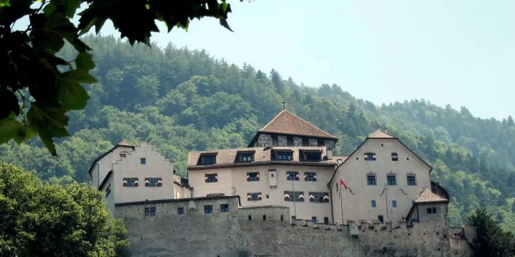
Settlement growth at the expense of agriculture
In Liechtenstein, the populated area increased by 45 percent between 1984 and 2019.
Nevertheless, the settlement areas claim only 11 percent of the 160 square kilometer small principality. This is shown by a current evaluation of aerial photos. Until 2008, the settlement areas grew by 18 hectares every year. After that, growth slowed down quite abruptly to 13 hectares a year and finally to 12 hectares.
The data comes from the land use statistics for the Principality of Liechtenstein 1984 – 2019 published on Monday, July 11, 2022. The evaluation was prepared by the Swiss Federal Statistical Office on behalf of the Liechtenstein government. Aerial strips from the years 1984, 1996, 2002, 2008, 2014 and 2019 were evaluated.
Declining development of agricultural land
It turns out that the agricultural areas are roughly inversely proportional to the settlement areas. In 35 years, 11 percent of cultivated land was lost. This change also took place fastest at the beginning of the observed period and slowed down significantly over the years.
With an increase of 4 percent, the change in forest and scrub forest was small. These allegedly wooded areas occupy the largest part of the country with 42 percent, ahead of agriculture with 32 percent.
The unproductive area has decreased by about 9 percent and now accounts for 14 percent of the country’s area. Both areas without vegetation and areas with unproductive vegetation decreased. Bush became bush forest and forest.
The change in the areas covered with ice and snow was dramatic. Glaciers and firn have disappeared by 80 percent in the 35 years observed and still cover one hectare.
More on the subject: