The rain “clumps” together – NRK Norway – Overview of news from different parts of the country
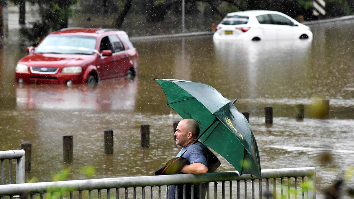
Violent rain showers, floods, chaos and people dying in the water masses.
Over the past year, extreme rainfall for history books has hit several places in the world.
- On April 11, Durban in South Africa received more than 300 millimeters of rain within 24 hours. This was far above previous records.
- On Christmas Eve last year, the state capital Salvador in Nahia, Brazil. 250 millimeters of rain during the day.
- October 4 last year it dropped in 12 hours 740.6 millimeters of rain in Rossiglione, Italy. This was a new European record.
If you do not think this sounds like much, we can mention that Oslo in a year on average sheep 763 millimeters of rain.
So why does this happen?
One explanation is climate change, that the globe is getting warmer: More heat, more evaporation, more rain.
But now researchers have found that something has also happened where and when it is raining.
The rain “clumps together”
Map of how the amount of rain on a rainy day has changed from 1950 to 2020. Blue = more intense rain showers, red = less intense rain showers.
Graphics: Julia Lutz / Benestad et al./PLOS Climate Graphics: Julia Lutz / Benestad et al./PLOS Climate
– By analyzing the best data we have today, we have found that the rain tends to clump more and more together both in place and time, says climate researcher Rasmus Benestad at the Meteorological Institute to NRK.
He is the lead author in a research article which is published today. I studied, the researchers looked at rain and rain patterns on the planet from 1950 to 2020.

CLIMATE RESEARCHER: Rasmus Benestad has spent much of the dry spring in Oslo studying rain. Photographed here by two of the precipitation meters at the Meteorological Institute in Oslo.
Photo: Hallvard Norum / NRK
First, you see that there will be more rain on the planet as a whole. In fact, it rained an average of 71 billion tons of water more per day in 2020 than in 1950. This corresponds to approximately 1.3 times the water in Lake Mjøsa.
But another finding is perhaps just as interesting:
– The rain comes more and more together and becomes more unevenly distributed on the globe, says Benestad.
In other words: Wet areas get wetter. Dryer areas are getting drier.
– But also the fact that some dry areas get very wet sometimes. Everything comes in one place, it splashes down, because the cloud structures change.
This helps to explain some of the completely “banana” rain records that have been set in recent years.
– We look at some places around the globe and the precipitation clumps together for a few days and becomes more than we have seen. Often there are many records that fall, says Benestad.
More rain in Norway
Norway has not “escaped” rain records either. In January, the extreme weather “Gyda” caused 20 new records according to the Meteorological Institute.
It should be said that the spring has been unusually dry in the east. However, it is the exception rather than the rule, we must believe the researchers.

The map shows how the rainy days in Norway have become stronger since 1950.
Graphics: Julia Lutz / Meteorological Institute
– Even though it has been a bit dry so far this year, there is a trend that it rains more here in Norway. This applies to most of Norway and the whole year, with the exception of autumn, says Benestad.
– So for those who are worried about the magazine filling, then there is hope?
– There is hope, but we see that it fluctuates a lot from year to year.
Think climate change is the explanation this time too
Researchers have so far not figured out why the rain seems to be clumping together. But Benestad has a theory:
– An obvious explanation is that there is more convection, that is, that warmer air rises and we get thunder clouds. This is something we will look at in the future, he says.
Benestad believes that climate change, that on average it will be warmer, amplifies this effect in many places: More moisture is drawn up and released over the same place.
– Yes I think so. Because we see that types of clouds in Norway change with the seasons. In the summer we have more thunder clouds and more local cloudbursts. It is in a way the same thing we see on a global scale, says Benestad.
How did we actually find out that humans affect the earth’s climate? See 200 years of science history in a few minutes here.