Years later, Prague made the location of buses in public transport available to passengers online
By the end of the year, trains in the Prague Integrated Transport System are to be shown in the new application.
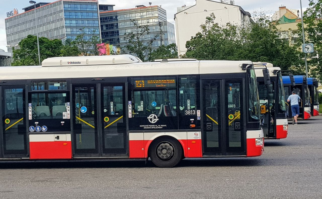
Passengers in Prague’s public transport now have information on the current location of all buses. New web application mapa.pid.cz newly shows all active connections in Prague Integrated Transport (PID). Passengers will find information about their route, delays, accessibility and other parameters on the site.
Until now, passengers had information about the delay only through the PID Lítačka and IDOS application. The map portal is now also available. The new map application is the next step in opening the data. It is exposed to a completely public web service, which can be freely used by all developers in their applications.
“We would just as easily like to make online data on trams available next year. These are seeming little things, but they really improve the quality of public transport and save passengers time that they would otherwise spend unnecessarily waiting,“Says Adam Scheinherr, Prague’s deputy mayor and transport councilor.
In addition to delays, passengers can also find out, for example, information about the entire route or whether the bus is running with air conditioning or barrier-free accessibility (except for DPP vehicles). A bonus, especially for enthusiasts, is a link to the vehicle card on the seznam-autobusu.cz website. They will then find a lot of detailed information and photos on the site. However, even this is currently only available from private carriers.
For easier orientation, it is possible to filter the connection by line numbers, it is possible to enter more lines at once. It is also possible to turn on the map to stop stops and details of their departures. The website is optimized for display on both a computer and a mobile phone.
More accurate delay data
According to Zbyněk Jiráček, head of the Ropid technical development and projects department, the ambition is not only to display the location on a map, but also to make the data available to other applications and developers. “For some time now, we have been transmitting timetables and location information from more than 2,500 buses of 26 carriers to the Prague Golemio Data Platform, which is created and operated by the city company Operátor ICT,” added Jiráček.
The data platform provides public data interfaces that can be used by other applications from private suppliers and thus expand the portfolio of applications for passengers. The new web map is thus, among other things, an example of the possibilities of using open PID data. It is displayed just above the mentioned Data Platform and PID timetables.
Thanks to maps, passengers should have more accurate data on bus delays. Current systems typically operate on the principle of recalculating the delay always when passing through a stop, where the real time of the passage is simply subtracted from the time determined by the timetable. However, delays are not recalculated between stops. If the vehicle stays in the inter-stop section for a longer period of time or the passage through the stop is not captured, the Price value will become inaccurate due to the delay.
Therefore, in the Data Platform, Ropid is currently testing an improved algorithm with the ICT Operator, which determines the delay directly according to the position on the route. This is also possible due to the fact that in Golemium the data from public transport planning meet the data from the control room and it is therefore possible to combine them in this way.
Trains will be on the maps by the end of the year
In addition to buses, there are currently ferries on the map. Trams and trains are also to appear in it. “We already have train positions available thanks to new contracts with the Railway Administration and carriers, but paradoxically it is more problematic to gain access to timetables, which do not yet exist in a satisfactory machine-readable variant.“Ropid said.” Data from the railway is to be included this year.
The trams are not online yet, Ropid did not specify the date. “Dopravní podnik hl. However, the City of Prague is now actively solving the retrofitting of trams with GPS modules, which should also send data to the central PID control room. All that happens is that we will have to quickly incorporate tram locations into the map of connections and open dataRopid said.
39 comments